0
Like

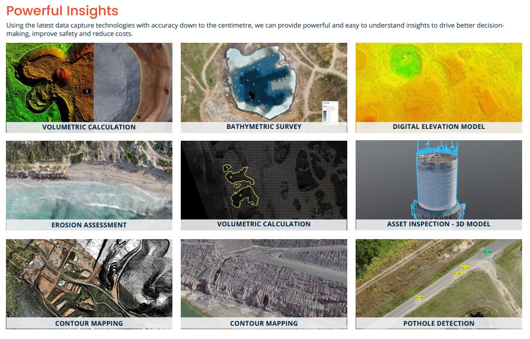
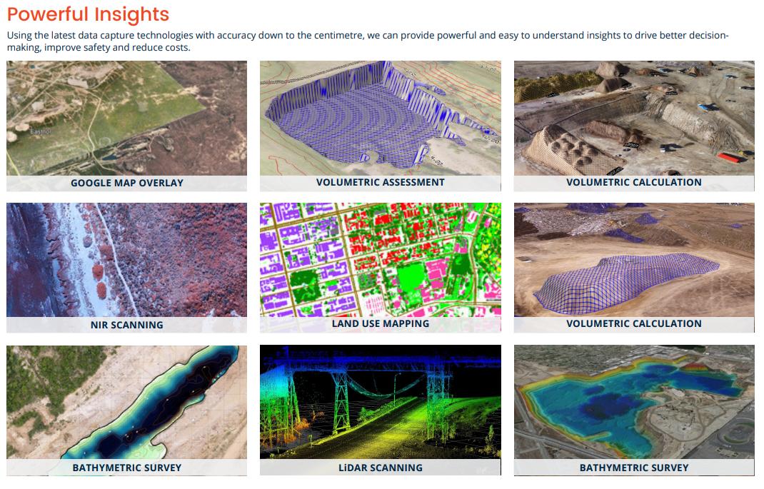
Using orthomosaic, infrared, LiDAR and other sensors, we can quickly capture and process data into maps and models to measure distance & volume, predict patterns, identify defects or monitor change. Our ability to capture high-resolution imagery from different angles creates millions of data points to produce the 2D orthomosaic and 3D models, allowing you to see more detail than ever before. Our team of GIS experts process all the data in-house to provide powerful and easy-to-understand insights to help you manage the performance of your project.
Scout Aerial’s Remote Operated Vehicles (ROVs) are underwater drones that capture high quality visuals to cost-effectively assess the underwater environment with minimal disruption and improved safety. With deployment in 3 minutes, they get to work quickly and can access potentially hazardous, shallow or challenging areas to help show you what you can’t see from the surface.
| Specification Title | Specification Description |
|---|---|
|
Accuracy
|
+/- 30mm accuracy.
|
|
Areas of Application
|
Land use planning and development | Environmental compliance monitoring | Drainage / watershed analysis | Water & sewerage assessments | Volumetric calculations | Magnetic surveys for mineral exploration | Pipeline inspections | etc.
|
|
Capabilities
|
Aerial Mapping | Precision Agriculture | Mining Services | Infrastructure Inspections | Oil & Gas Services | Forestry Services | Environmental Assessments | Emergency Response | Media & Advertising | Virtual Reality | Managed GIS Services | R&D
|
|
Certifications / licences
|
CASA issued Remotely Piloted Aircaft Operator's Certificate (ReOC).
|
|
Monitoring
|
We can conduct 360-degree remote assessments with the ability to zoom in for granular examinations capable of detecting surface degradation, cracks or other flaws.
|
|
Runtime
|
Up to 4 hours.
|
 Get access to reviews
Sign up or log in to your explorer or platform subscription to get access to the reviews written about this technology.
The Technology Readiness Level (TRL) indicates the maturity level of novel technologies. Learn more about the TRL scale used by us.
[7/9]


Sign up or log in to your explorer or higher plan to get access to all the 4 deployment references.
Last Deployment Year


