Remotely controlled aquatic drones
Your smart pair of eyes on the water!
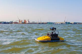
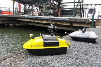
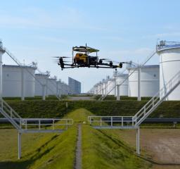
AquaSmartXL provides you with an additional pair of eyes on the water. Our aquatic drones help to observe and inspect assets as well as their surroundings, giving you all the needed information for maintenance, life span development, risk mitigation or insurance.
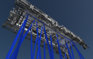
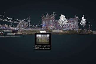
The aquatic drones are remotely controlled and sail around and underneath infrastructure to capture visual object information. As a multi-sensor platform, the aquatic drone can be equipped with various types of sensors and imaging systems to provide our clients with the right information to solve their challenges. Our multipurpose platform offers among other optical, infrared and depth measurement. The data captured can be processed into a 3D model. Via the 3D model detailed information can be accessed more easily for inspection purposes.
| Specification Title | Specification Description |
|---|---|
|
Accuracy
|
Visual inspection: Photos 10 - 25 Mega pixels. 3D modelling GEO referenced accuracy between 5 - 20 mm. Point cloud accuracy between 1 - 2 cm.
|
|
Areas of Application
|
Water assets (above water line).
|
|
ATEX certified
|
No
|
|
Capabilities
|
Inspection and modelling of water assets | Optical, infrared and depth measurement
|
|
Certifications / licences
|
VCA
|
|
Operating conditions
|
Operational stop might be necessary | No shipping traffic in vicinity
|
|
Output
|
Data sets and 3D models - can be combined with geo-information and made available for GIS applications.
|
|
Preparation
|
Task Risk Analysis | Hot work permit
|
|
Redundancy
|
No: operation with one drone and a reserve one.
|
Reviews
Sign up or log in to your explorer or platform subscription to get access to the reviews written about this technology.
The Technology Readiness Level (TRL) indicates the maturity level of novel technologies. Learn more about the TRL scale used by us.
[9/9]

Sign up or log in to your explorer or higher plan to get access to all the 4 deployment references.
Last Deployment Year

