0
Like

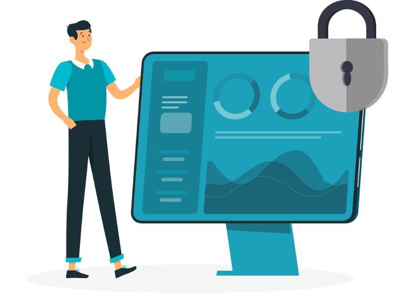
Create unlimited size projects with up to one-millimetre resolution with geolocated analysis, AI, AR and live feed interactions and share your whole project with your clients operating with standard internet bandwidths and GPUs.
| Specification Title | Specification Description |
|---|---|
|
Data Analysis
|
Supporting all major file types for ease of use.
|
|
Areas of Application
|
Used by industries like mining, engineering and government.
|
|
Accuracy
|
Using world-class geospatial positioning.
|
|
Documentation
|
Store 15GB of visual data across 3 projects, for free.
|
|
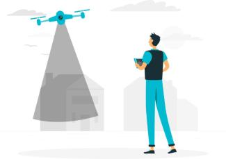
Visualisation
|
Capture your model area using a camera with LiDAR capabilities.
|
|
Collaboration
|
Viewable by those with your models unique access link and a free Euclideon Access License.
|
 Get access to reviews
Sign up or log in to your explorer or platform subscription to get access to the reviews written about this technology.
The Technology Readiness Level (TRL) indicates the maturity level of novel technologies. Learn more about the TRL scale used by us.
[9/9]


Sign up or log in to your explorer or higher plan to get access to all the 5 deployment references.
Last Deployment Year


